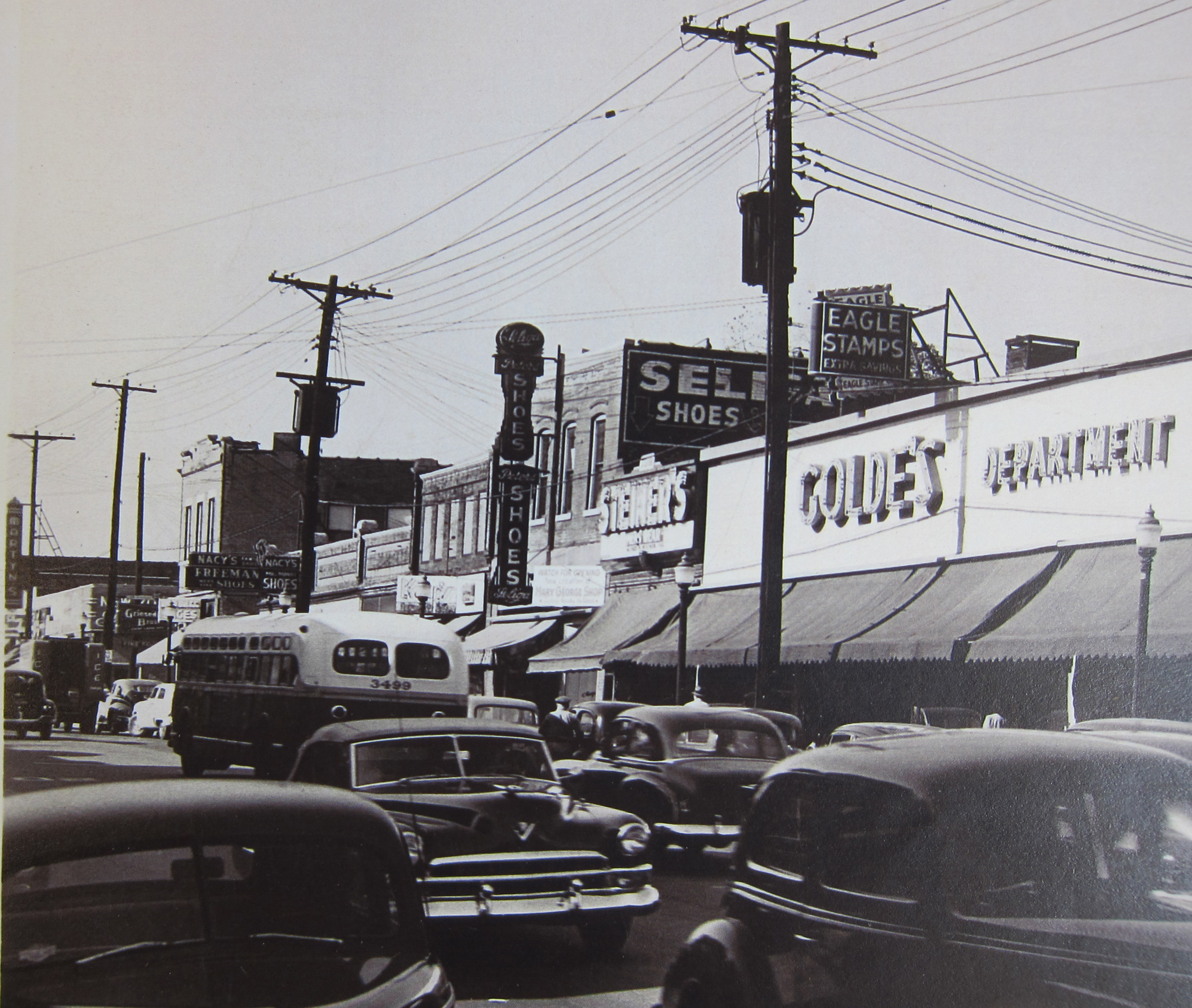
Golde's most likely somtime in the early 1950's. Courtesy of Wanda Kennedy Kuntz
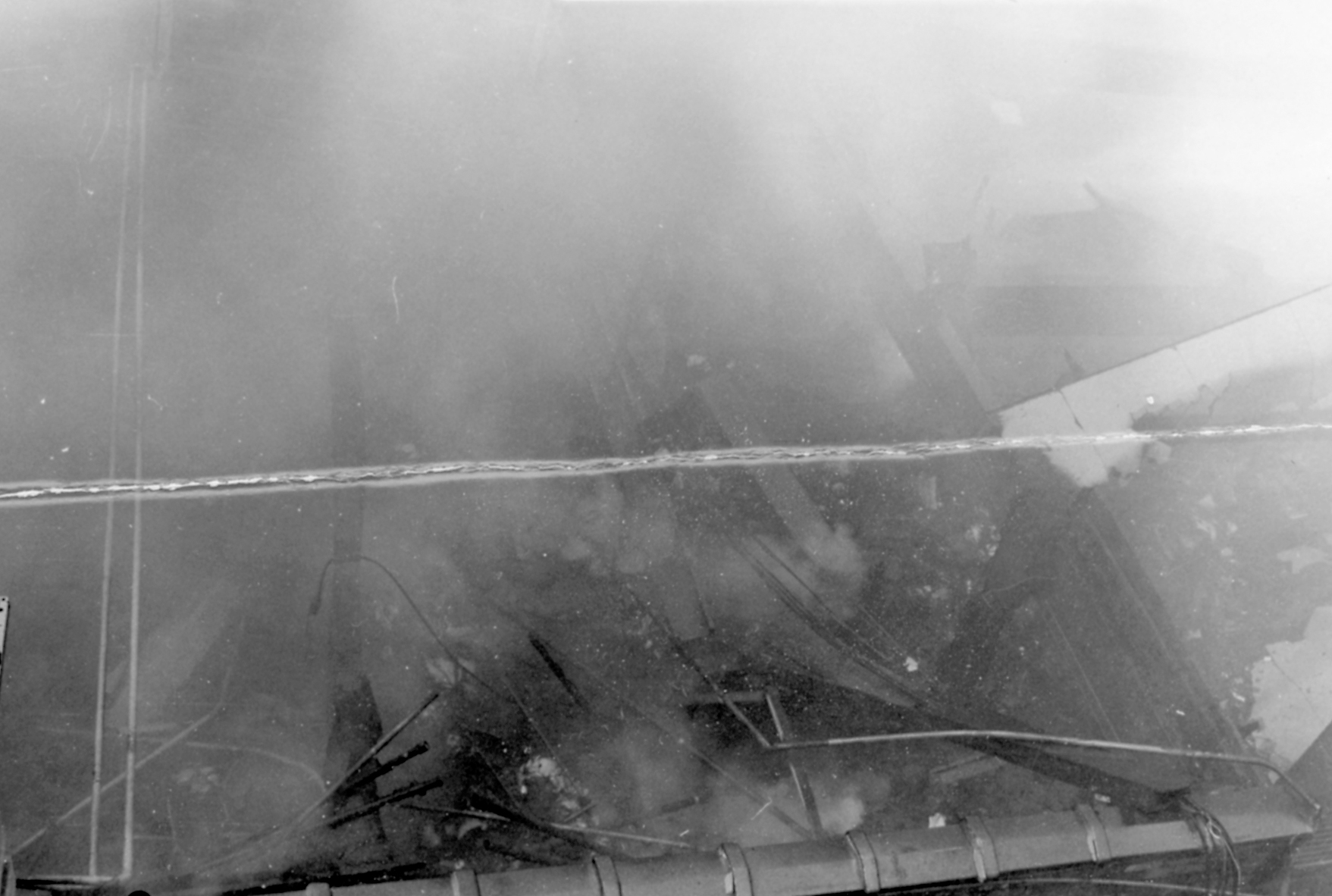
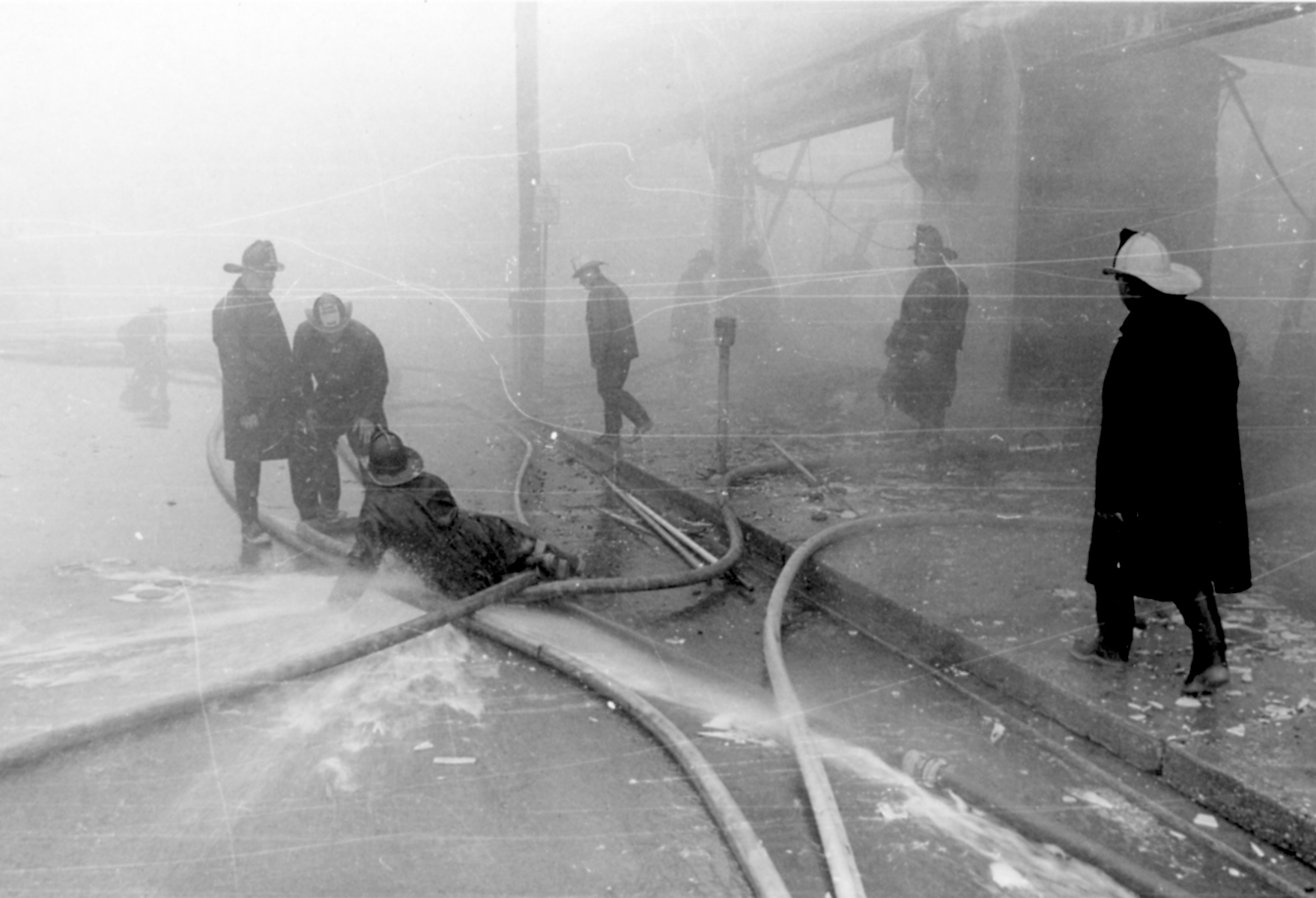
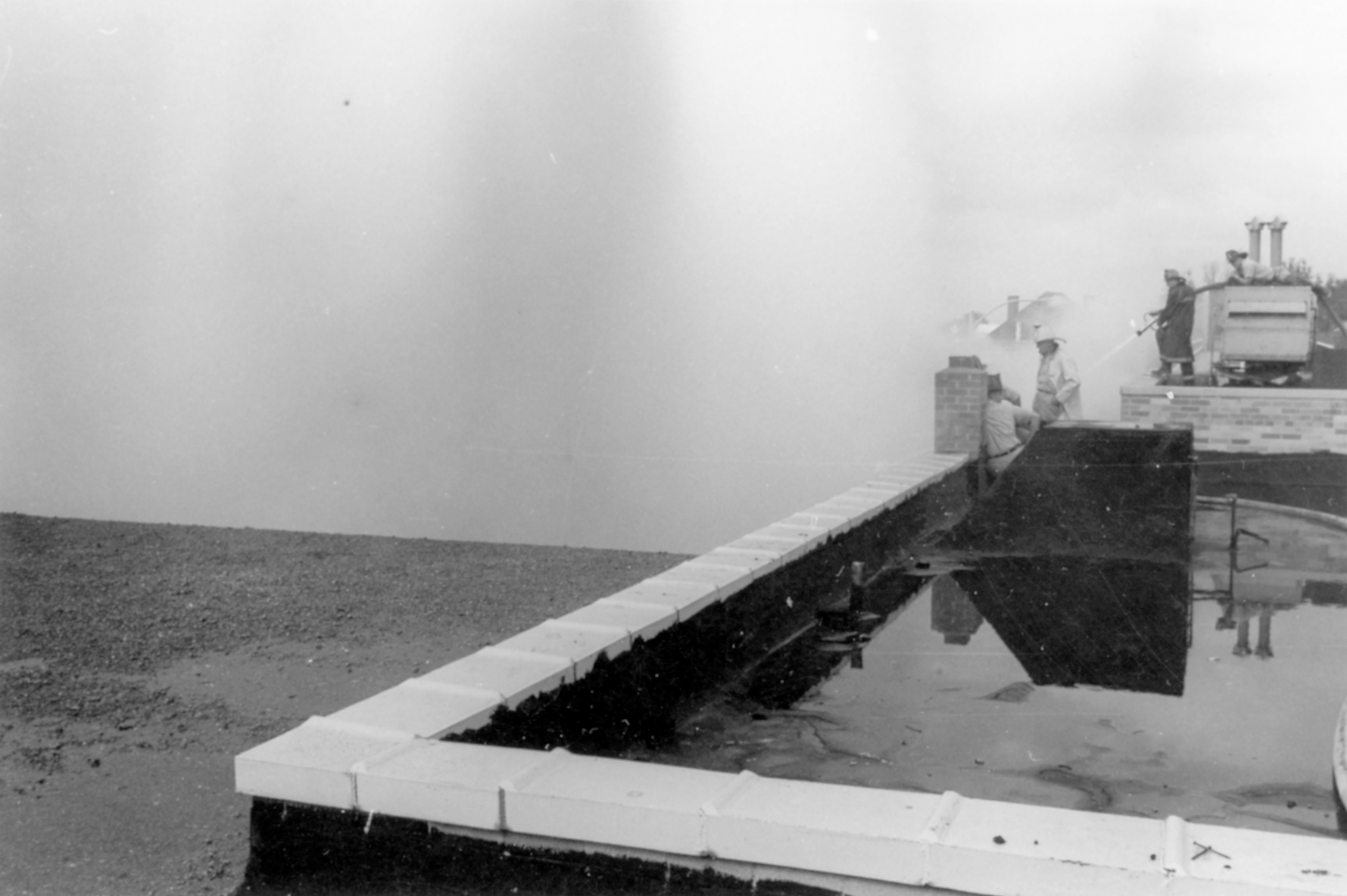
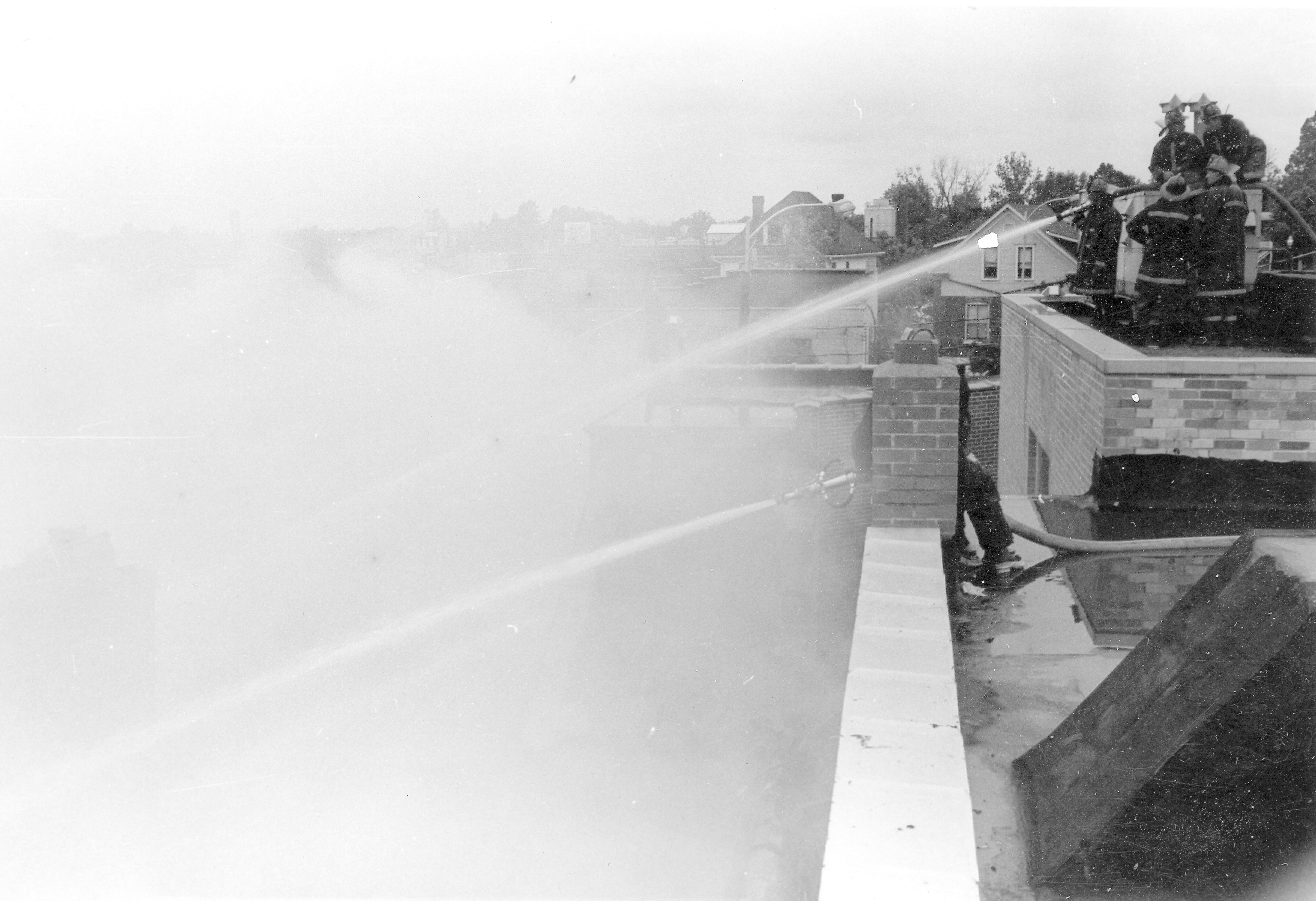
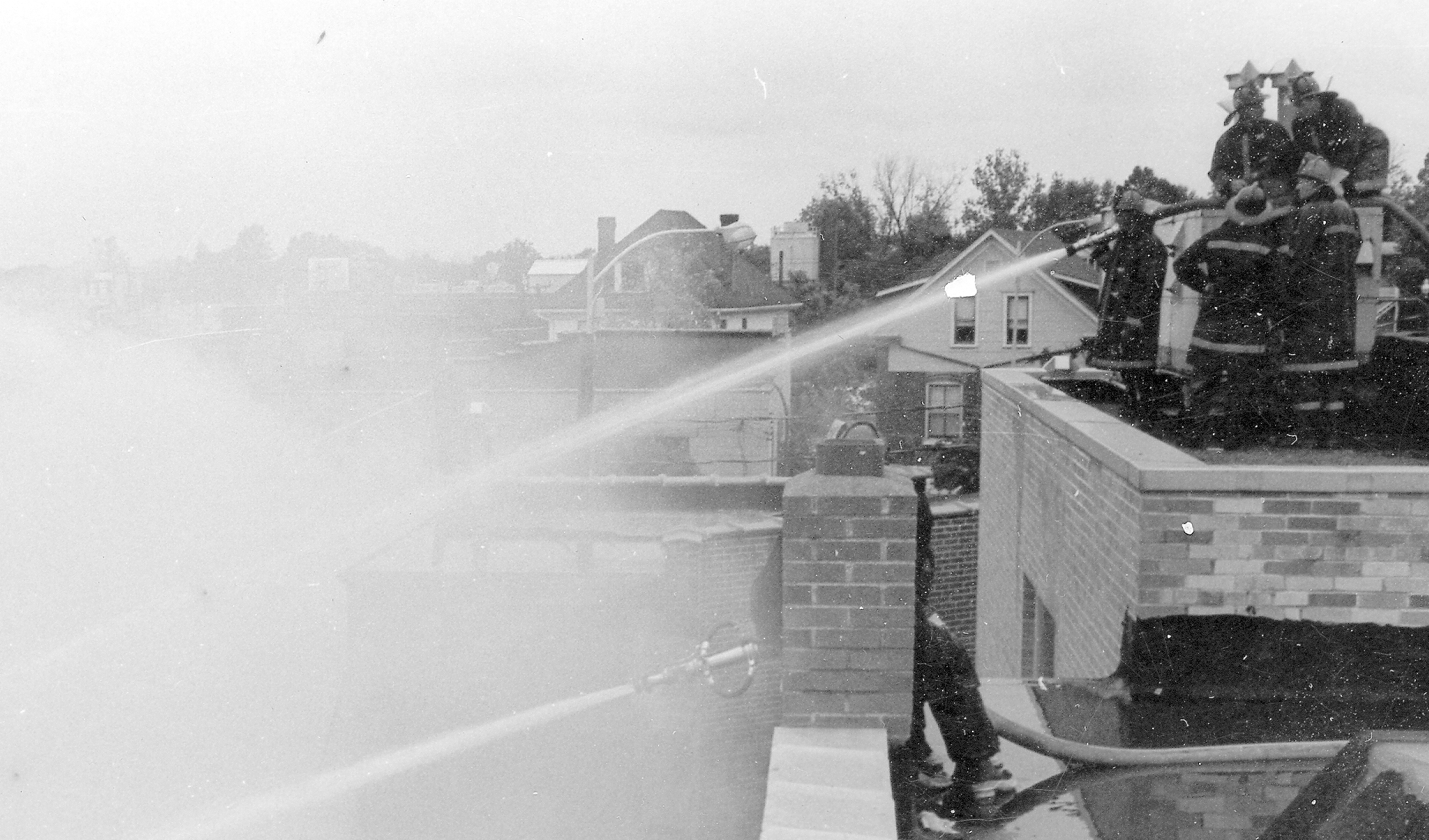
Here are more photos of Golde’s prior to, during and after immolation.
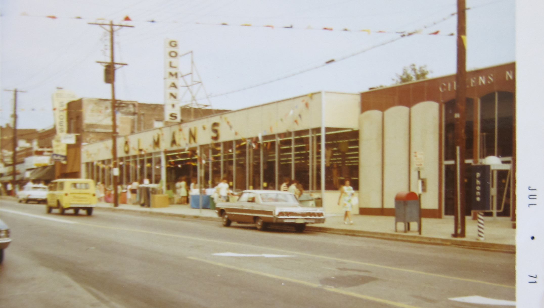
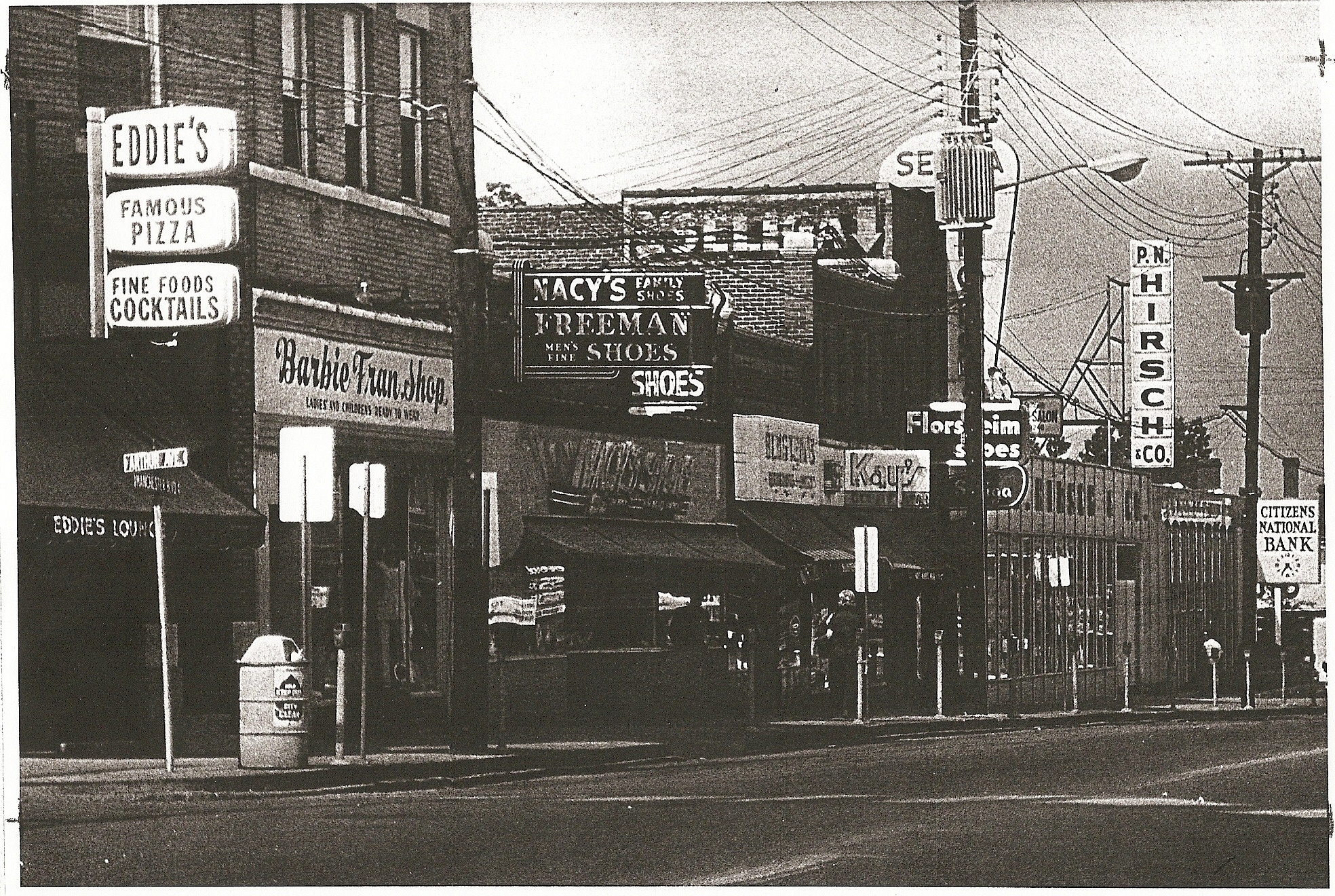
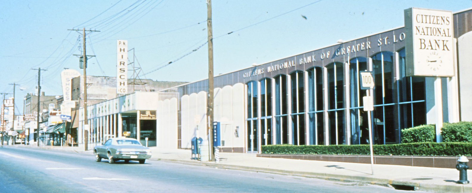
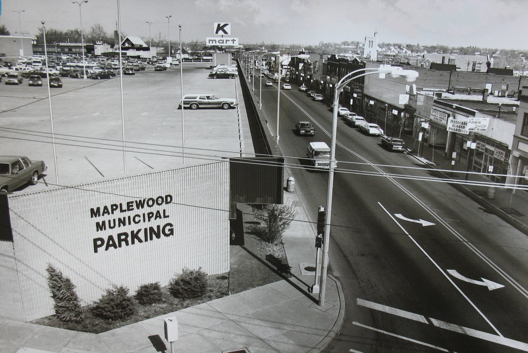
Golde’s, most likely sometime in the early 1950’s. Courtesy of Wanda Kennedy KuntzCourtesy of the Maplewood Public LibraryCourtesy of the Maplewood Public LibraryCourtesy of the Maplewood Public LibraryCourtesy of the Maplewood Public LibraryA close up from the prior photo. The houses were once along the now completely gone street, Arthur. Courtesy of the Maplewood Public LibraryAn aerial view from 1967. Courtesy of the Maplewood Public LibraryThis photo from 1971 shows a Golman’s store on the site. Courtesy of Wanda Kennedy KuntzThis undated photo shows a P.N.Hirsch store in the same location. Courtesy of the Maplewood Public LibraryDitto.And finally the coup de grace to the north side of the 7300 block of Manchester, the development no one wants to remember. Take a good look. Let’s not do that again. Courtesy of the Maplewood Public Library
5 COMMENTS
Ian Storm, taking a look at a Historic Aerial map from 1958 (http://www.historicaerials.com/), a residential neighborhood existed on the western portion of the current SnS shopping center. The street you see in the 1967 aerial map today would run down the center of the current SnS parking lot. I am not sure if those houses were razed for Shop n Save or for a prior development (Kmart?) on the property.
It’s Arthur street – no longer in Maplewood.
Thanks for your research. I remember this fire well. I was a camp and came home to the devastation. That fire was a big loss. On the bright side, that ugly K-Mart is gone!
Thanks Doug. I have a question about the top left of the aerial view from 1967. What street is that? That’s not Sutton, is it? Maybe the perspective just makes it confusing, but those don’t look like the houses that currently face SnS.
I don’t remember what the street’s name was, but I believe it was closed when the K-Mart site was developed. Wasn’t Eddies bar on the corner of it and Manchester? Anyone?
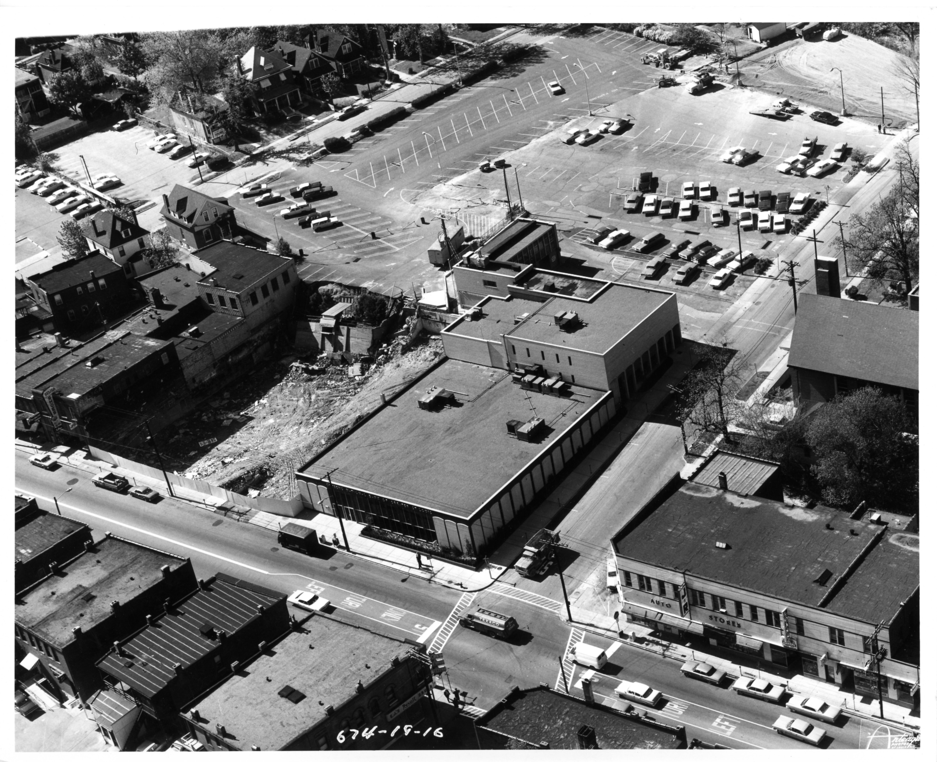
Comments are closed.